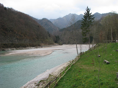
A different kind of yard ornament.


Our travels this time took us up one of the valleys through the mountains. The side of the mountains are nearly vertical, the stream littered with rocks. There was very little water flowing in the stream.

Here is the bridge that spans the valley at the top.

There is an old dam to the left

With plans to construct a newer one.

On October 9, 1963 part of the mountain slide down into the valley crushing everything in its path killing more than 5,000 people. A very stark and somber area.
The road leading to this just hugs the mountainside, as you can see.

I spotted this old stone bridge crossing one of the small ravines leading into the valley.

This picture doesn’t do justice to its location because it was tucked nearly out of sight. This has to be a survivor of foot traffic days!
The day’s journey reminded me of a trip up Pine Creek, to the more remote areas of Tioga or Potter Counties. Only the mountains here are about four times larger and steeper. Rugged country!

Would you believe this was the “main road” to get to the other side?

I thought surely it must be for foot traffic, but the sign says “pedestrians and cars”.

And sure enough, while we were taking these pictures a number of cars crossed!


As you can see by the sign, it would hold 1.5 tons and you could be 2.10 meters wide.


It was pretty. But to me it was just plain pretty scary! I figured that’s why this shrine was right beside it—the people were so grateful to get across alive, they just had to stop right there and thank God!


These are just some interesting shots we took along the way of a waterfall,


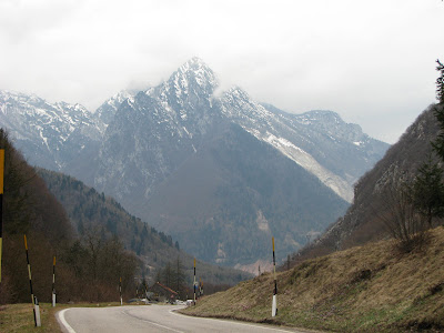
the mountain.

Notice the “sticks” along the road—gives the plowmen an idea where the road is when the snow is 5 feet high or so.